Rantowles Creek
Not feeling the crowds at Shem Creek? We hear ya. That's why we like to explore many of the creeks and rivers in the Lowcountry. Sections of the Edisto River and Penny Creek are some of our favorites, as well as the ACE Basin in all of its glory. Those are less than 30 miles from Charleston and make for great half day excursions.
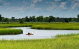
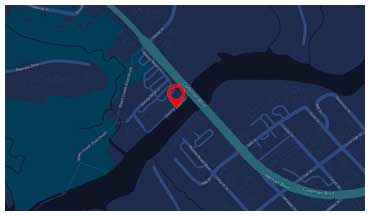
But have you heard of Rantowles Creek? This may be our new favorite paddle. It’s a tidal salt marsh creek being fed by the Stono River. The paddle we recently conducted involved staging our kayaks at the Limehouse Bridge Landing and shuttling a few cars to the take out location at Bulow Landing. Both are Charleston County Park landings, so they are kept up very nicely. We left Limehouse about 90 minutes after low tide so we could ride incoming tide all the way to the landing, and ride it we did!
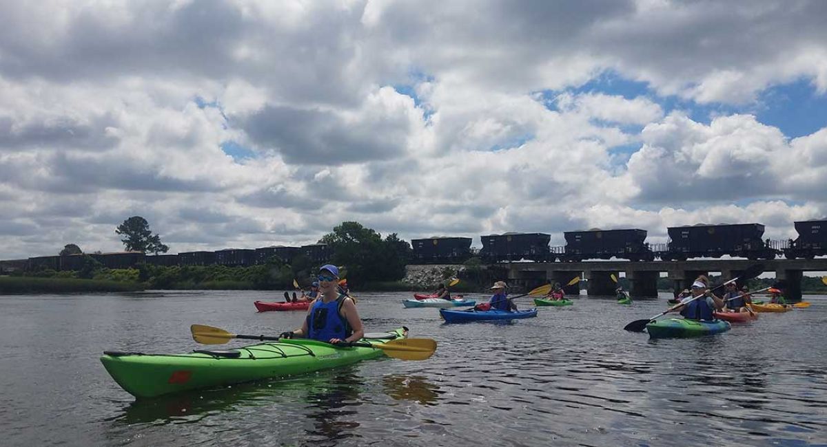
We led this kayak tour on a Sunday morning, and the most challenging part was timing our crossing of the Stono River, which is part of the Intracoastal Waterway in this area. We had 25 kayaks to herd across, and it was no problem thanks to some very courteous boaters. From there it was a Northwestern route following the creek and riding the tide. We did have some light wind from the East, so we hugged the Spartina grass on our right to make life a little easier. This was especially appreciated by our five first-time paddlers.
There’s a really nice beach on the left just after turning into Rantowles Creek which would make a great lunch spot if you put in at Balow. Since we had only been paddling about 20 minutes, we didn’t stop there. We continued until we reached the train trestle. This was a great time to regroup since some paddlers were going for speed and exercise and others were going a bit slower and enjoying the sights. One thing to note (that we tell all of our groups) is to be careful of the oyster clusters growing on the trestle supports. They are razor sharp and take no prisoners!
Just after the trestle we had to take the right in the fork in the creek to make sure we would end up at Bulow. We will take the left path sometime soon as it goes to the back end of the Caw Caw Interpretive Center. After about another mile we reached Highway 17. Other than the automobile noise, the conditions were perfect to stop for our snacks/lunch.
After passing under highway 17, we kept left to get off of the main creek. We did this partly in order to avoid boat traffic (since we had such a large group) and partly just to explore. Two of our guides, Elizabeth Anderegg and Ben-Jamin Toy wanted to see what, if any, part of the oyster bed was passable a mid tide (specifically, two hours after low tide), and as luck would have it, there was at least two feet of water just about everywhere.
This was great news, as this section of the waterway joins back up with the defined creek about a quarter mile from Bulow landing. This provided a phenomenal leisurely paddle with the tide to cap off our excursion.
Stay tuned as we will be exploring past Bulow near high tide to determine what other routes we can take. If you want to try this tour, call us at 843.568.3222. It can be booked as a 2 or 3 hour tour based on your goals for the day. Due to the off-site location, there is a minimum group size of 6 and a small increase in price, but oh man is it worth it!


